Agricultural Drone Services
Precision Agriculture Solutions Across Tamworth, The Hunter Valley & Regional NSW
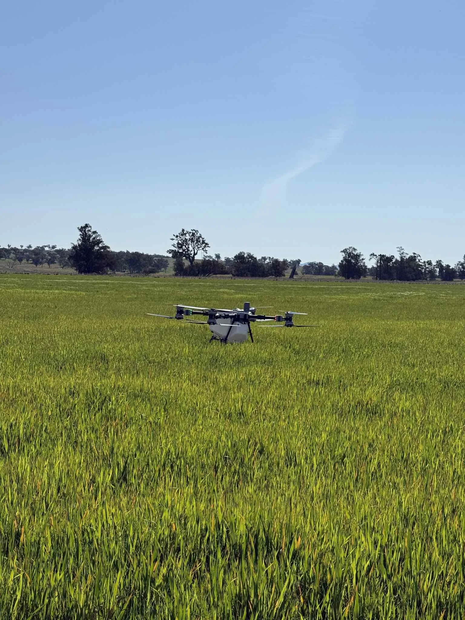
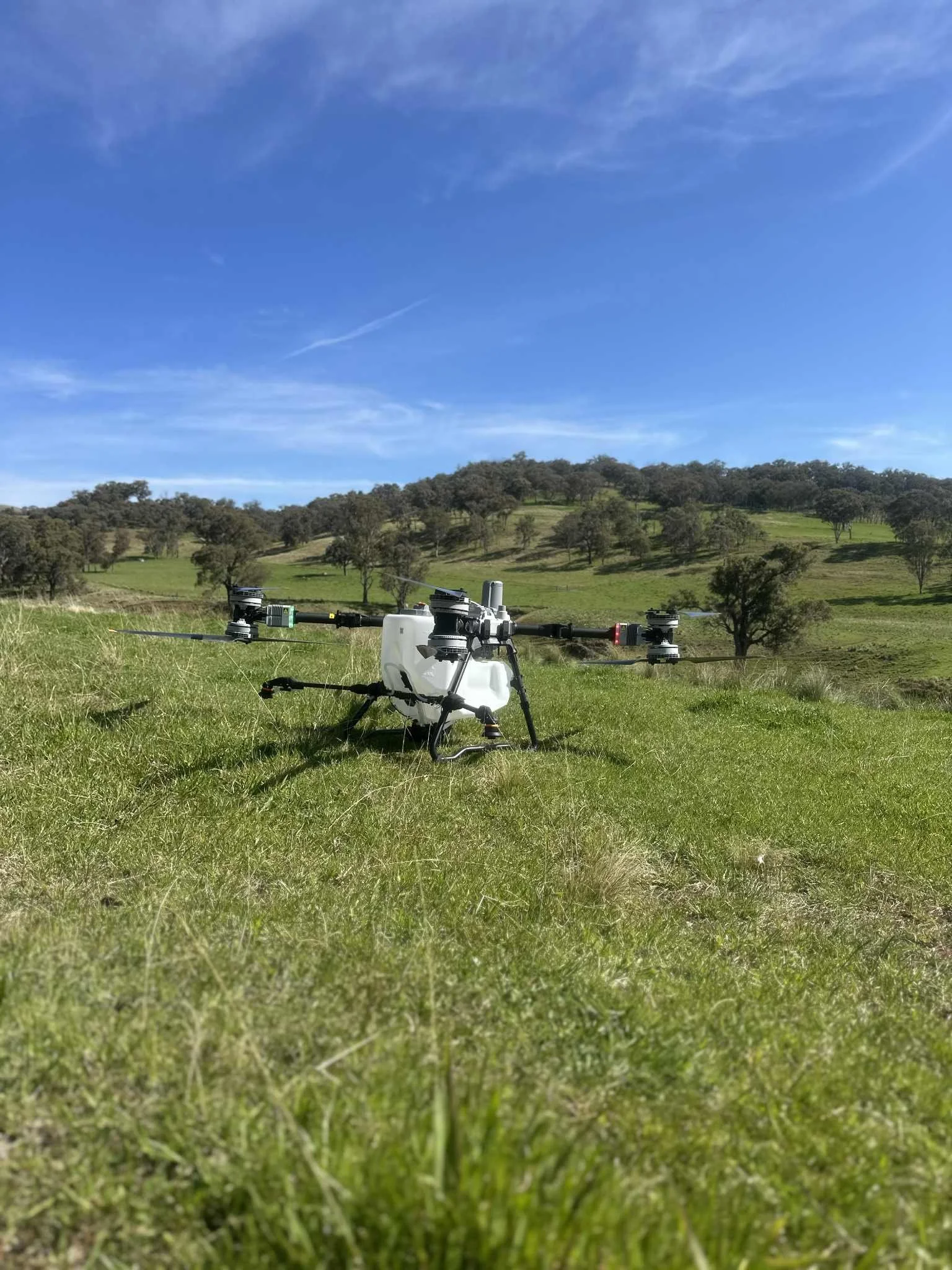
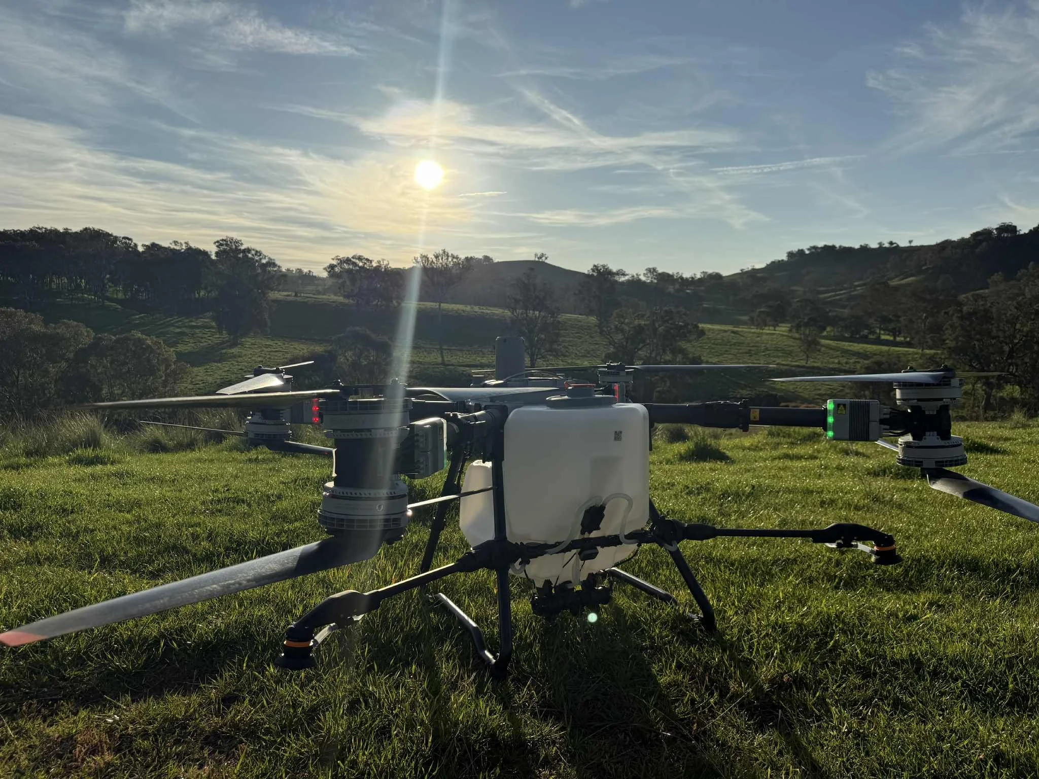
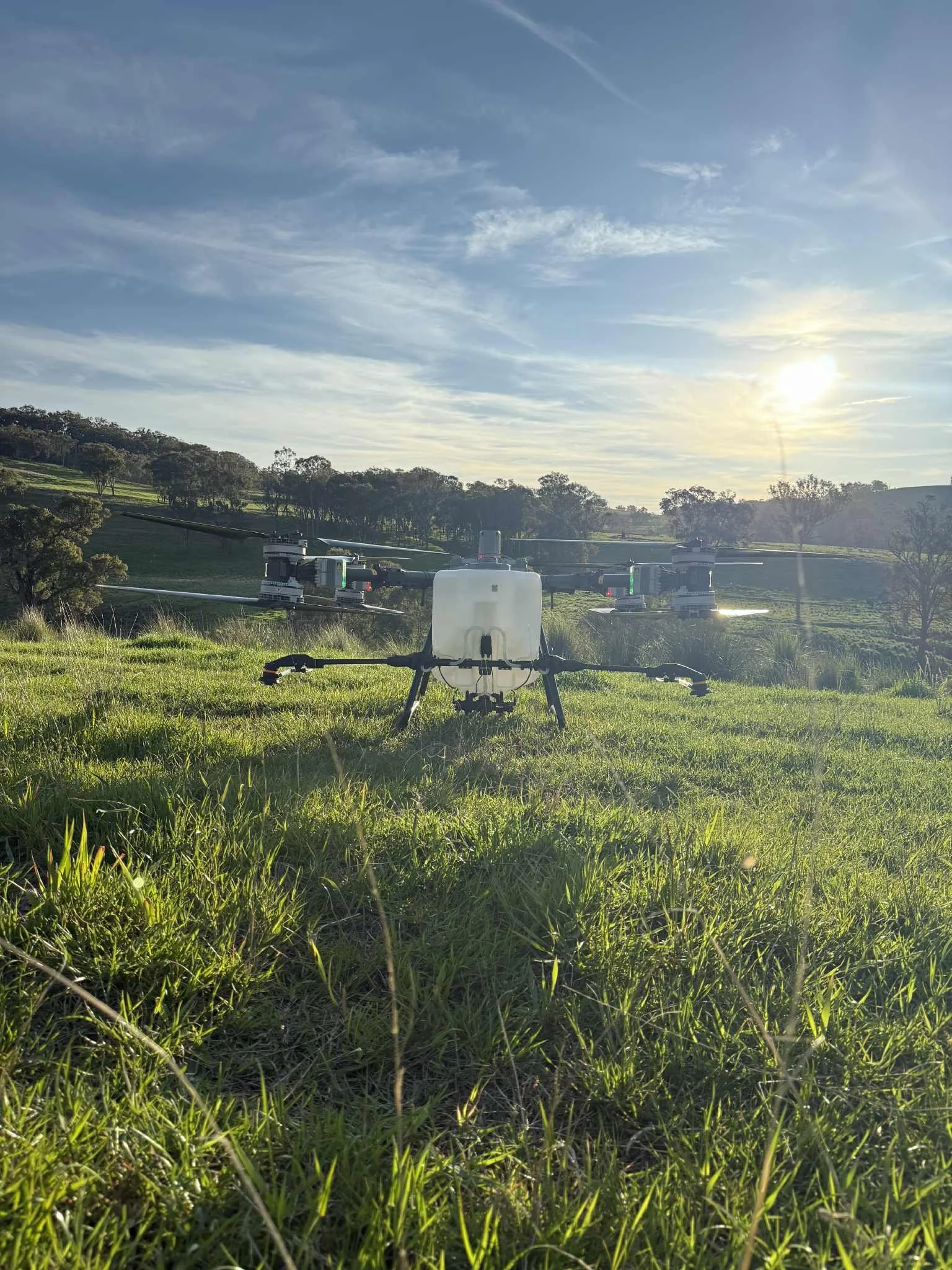
At Sky Ag Solutions, we provide professional agricultural drone services designed to help farmers improve efficiency, reduce operating costs, and maximise productivity.
Using the latest DJI agricultural drone technology, we deliver accurate spraying, fertiliser application, aerial seeding, and mapping solutions for broadacre farms, grazing properties, cropping operations, and difficult terrain throughout New South Wales.
Whether you're managing a large-scale farming operation, improving pastures, or looking for more efficient ways to apply products, our drone technology provides a smarter solution.
Drone Spraying
Accurate Chemical Application Without The Limitations Of Traditional Machinery
Our drone spraying services provide precise application of herbicides, pesticides, fungicides, and liquid fertilisers across a wide range of agricultural environments.
Using advanced GPS technology and intelligent flight planning, our drones apply products accurately and consistently while reducing drift and minimising waste.
Ideal For:
Weed control
Pasture spraying
Crop protection
Fungicide applications
Insect control
Targeted spot spraying
Benefits For Farmers
✔ Reduced chemical drift
✔ Accurate application rates
✔ Lower labour requirements
✔ Access to difficult terrain
✔ Faster treatment of problem areas
✔ Reduced fuel and machinery costs
✔ Less crop damage compared to ground equipment
Need weed control or crop spraying?
Contact our team for a quote.
Fertiliser Spreading
Precision Nutrient Application For Better Results
Our DJI drones can spread up to 100kg per flight, delivering efficient fertiliser application across broadacre farms, pastures, and cropping operations.
With variable rate capabilities, fertiliser can be applied exactly where it's needed, allowing farmers to increase application rates in areas requiring additional nutrients while reducing unnecessary product use elsewhere.
Perfect For:
Broadacre cropping
Pasture improvement
Top dressing
Targeted nutrient applications
Difficult-to-access paddocks
Benefits For Farmers
✔ Save hours compared to traditional spreading
✔ Apply different rates across paddocks
✔ Improve fertiliser efficiency
✔ No soil compaction
✔ Lower fuel and labour costs
✔ Better nutrient placement
✔ Reduce crop damage from machinery traffic
✔ Apply fertiliser over established crops without running tractors through paddocks
Talk to us about a customised fertiliser application program.
Aerial Seeding & Granular Spreading
Fast, Efficient Establishment Of Crops & Pastures
Drone seeding provides an effective solution for establishing crops, improving pastures, and spreading granular products across challenging terrain.
Our technology allows seed and granular products to be distributed evenly and accurately across large areas while eliminating many of the challenges associated with traditional seeding equipment.
Suitable For:
Cover crops
Pasture renovation
Revegetation projects
Granular fertilisers
Soil amendment products
Benefits For Farmers
✔ Fast and efficient application
✔ Reach steep, rocky, or wet country
✔ Consistent product distribution
✔ Reduced soil disturbance
✔ Lower operating costs
✔ No machinery damage to crops
✔ Greater access to difficult terrain
✔ Improved efficiency during critical seasonal windows
Looking to establish new pasture or cover crops? Let's discuss your project.
Aerial Mapping & Imaging
See More. Know More. Farm Smarter.
Using DJI technology combined with advanced mapping and processing software, Sky Ag Solutions provides detailed aerial mapping, photogrammetry, and multispectral imaging services.
These technologies allow farmers to gain a better understanding of their property, crops, and operational performance through high-resolution imagery and precision data.
Services Include
Aerial property mapping
3D terrain modelling
Photogrammetry
Multispectral crop analysis
Crop health monitoring
Infrastructure planning
Land management assessments
Benefits For Farmers
✔ Identify crop stress early
✔ Monitor crop performance
✔ Improve fertiliser decisions
✔ Support precision agriculture practices
✔ Create accurate farm maps
✔ Plan drainage and infrastructure projects
✔ Track changes over time
✔ Make data-driven management decisions
Discover how aerial mapping can improve your farm management.
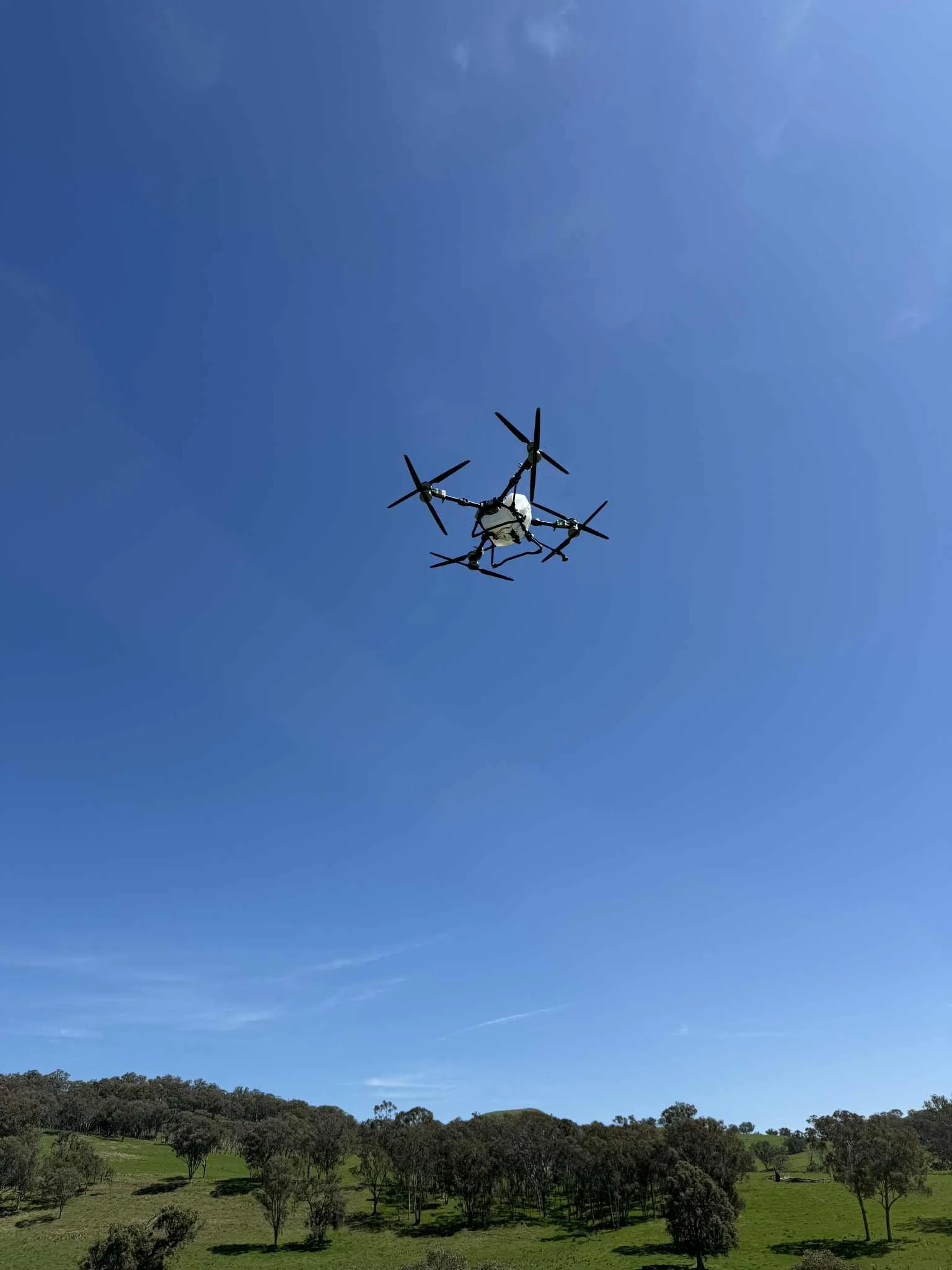
Broadacre & Difficult Terrain Specialists
One of the greatest advantages of agricultural drones is their ability to operate where traditional machinery struggles.
Whether you're farming steep country, rocky terrain, wet paddocks, inaccessible areas, or large broadacre properties, our drone technology allows us to provide accurate application without damaging crops or compacting soil.
Ideal For
Hills and slopes
Wet paddocks
Waterlogged areas
Rocky terrain
Broadacre operations
Difficult-to-access locations
Ready To Improve Efficiency On Your Farm?
Whether you need spraying, fertiliser spreading, aerial seeding, or advanced mapping services, Sky Ag Solutions has the technology and experience to help.